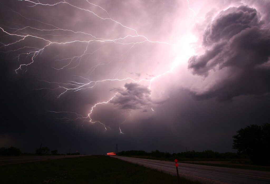
The South African Weather Service (SAWS) issued a statement on Friday, 26 May, indicating that a late autumn cut-off low pressure weather system will bring widespread thundershowers to several regions.
See more weather on the live blog here: Weather live updates
These areas are expected to be affected by thundershowers
Thundershowers are expected to affect the Free State, Northern Cape, and Eastern Cape starting from Sunday, 28 May.
The inclement weather will then extend to the Western Cape on Monday, potentially causing heavy rainfall that may lead to flash flooding.
According to the SAWS, cut-off lows are challenging to predict, and the latest numerical weather prediction models show discrepancies in terms of intensity, position, and expected evolution.
ALSO READ: KwaZulu-Natal: THUNDERSHOWERS expected TODAY
Nonetheless, similar weather systems in the past have resulted in sporadic intense rainfall and subsequent flooding events. Thus, caution is advised.
System to persist into next week
The showers and thundershowers are forecasted to commence on Sunday over the Free State, Lesotho, Northern Cape, and Eastern Cape. The weather system will then move towards the Western Cape on Monday, persisting in the area until Wednesday, 31 May.
On Monday afternoon, the Cape Winelands and Overberg regions may experience heavy rainfall in the form of thundershowers, with the potential for flash flooding.
Furthermore, the weather service highlighted that daytime temperatures will remain cold, ranging between 10°C and 16°C over the interior of the Cape provinces and parts of the Free State from Monday to Wednesday.
ALSO READ: Eastern Cape Weather: FREEZING temperatures expected TODAY
In the southern parts of the Namakwa District and northern interior of the Western Cape, temperatures may even fall below 10°C.
Small stock farmers in the Cape provinces’ interior are advised to take precautions as the combination of cold and wet weather poses a threat to livestock.
Additionally, a warning has been issued for strong to near-gale-force winds along the Western Cape coast between Saldanha Bay and Plettenberg Bay on Monday.
On Wednesday, the cut-off low’s “scorpion’s tail” will continue to bring rainfall to the Western Cape, with the weather system extending to KwaZulu-Natal and Mpumalanga, accompanied by cooler temperatures.
ALSO READ: Western Cape Weather: COLD temperatures TODAY
HOW TO STAY SAFE WHILE OUTSIDE IN THUNDERSHOWERS
With thundershowers expected for most of the province, here are a few tips if you find yourself outside:
- If the weather forecast calls for thunderstorms, postpone your trip or activity. This will help you avoid being caught in a thunderstorm and getting injured.
- When thunder roars, go indoors. Lightning can strike up to 16km away from a thunderstorm, so it is important to seek shelter immediately when you hear thunder.
- If you are caught in an open area, find adequate shelter immediately. This could be a building, a car with the windows rolled up, or a ditch.
- If you cannot find shelter, crouch down in a ball-like position with your head tucked and hands over your ears.
- Do not shelter under an isolated tree or a cliff or rocky overhang.
ALSO READ: Viral Video: Cockroach slays on the Met Gala red carpet [watch]
- Do not stand in water or near metal objects.
- If you are in a group, separate from each other. This will help reduce the number of injuries if lightning strikes.
- If you are out in the open water, return to shore immediately. Lightning can travel through water, so it is important to get out of the water as soon as possible.
- Avoid open vehicles and structures. These structures are not safe from lightning strikes.
- Stay away from open spaces. Lightning is more likely to strike open spaces than wooded areas.
- Stay away from tall structures. Lightning is more likely to strike tall structures than shorter structures.
CLICK HERE TO READ MORE ARTICLES BY MICHELLE SWART

