
SAWS Warns of Heavy Rain Introduction
Heads up – the South African Weather Service (SAWS) has just sent out an important alert about heavy rainfall heading our way in eastern South Africa. It’s not just a little drizzle we’re talking about here; they’re saying there’s a higher chance of flooding, so we all need to keep our eyes peeled and stay safe.
Rainfall Projections
Let’s get into the nitty-gritty of what SAWS is predicting:
- They’re expecting a whopping 70-150 mm of rain to pile up in some areas.
- Are the provinces in the spotlight? Gauteng, Mpumalanga, KwaZulu-Natal, and parts of Limpopo, North West, and Free State.
I remember the last time we had this much rain – my garden turned into a mini-lake! It’s not something to take lightly.
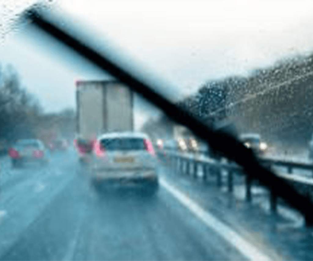
Flooding Risks and Safety Measures
With all this rain coming our way, there’s a good chance we might see some localized flooding. It’s not just about wet feet – flooding can be really dangerous. Here’s what we should all do:
- Keep an eye on SAWS updates. They’re our go-to weather buddies for the latest info.
- If you live in a low-lying area, maybe start thinking about a ‘just in case’ plan.
Temperature Impacts
Now, here’s a silver lining to all these rain clouds – it’s going to cool things down a bit! After that scorcher of a heatwave we just had, I’m personally looking forward to some milder weather. Expect things to be a bit more comfortable, especially in the eastern parts of the country.
Specific Weather Outlook
Let’s break it down day by day:
Thursday
- KwaZulu-Natal and Mpumalanga, get ready for a good soaking! We’re talking isolated to widespread showers and thunderstorms.
Friday
- Gauteng, Mpumalanga, and eastern North West: Scattered thunderstorms are on the menu.
- If you’re on the south coast, expect some light rain to keep things interesting.
Severe Weather Threats
Alright, let’s get serious for a moment. These aren’t just your average rain showers we’re dealing with. SAWS is warning us about:
- Heavy downpours that could lead to flash flooding
- Damaging winds that might knock over a few things
- Hail in some areas (cover your cars, folks!)
We need to stay alert during these storms. I once underestimated a thunderstorm and ended up with a very waterlogged car – not fun!
Recent Heatwave and Dry Conditions
Remember that heatwave earlier this month? Phew, wasn’t that something? We saw some record-breaking temperatures that had us all melting. It’s been pretty dry too, especially in the central parts of the country. I’ve noticed my local dam looking a bit low lately – it’s clear we need this rain.
Upcoming Weather Patterns
Looking ahead, here’s what we can expect:
- Central areas: Mostly staying dry with just a few thunderstorms here and there.
- Eastern provinces: Good news! You’re in for some much-needed rain, thanks to tropical moisture and some friendly weather systems.
Public Advisory and Information Channels
SAWS is on the ball, keeping a close eye on all of this for us. They’re promising to keep us updated, so let’s make sure we’re tuned in. Here’s where you can get the latest:
- TV and radio (I always have the radio on in the background)
- SAWS website (bookmark it!)
- Their social media channels (they’re pretty active on Twitter)
Remember, folks – knowledge is power, especially when it comes to weather. Stay informed, stay safe, and maybe invest in a good umbrella!